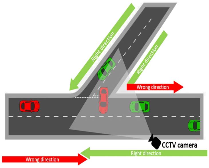
Delhi has launched GIS mapping of roads and infrastructure to create a centralised digital inventory for better planning. The initiative will help authorities track roads, maintenance needs and civic assets more accurately. Officials expect the technology to improve coordination, identify infrastructure gaps and support development across the city.
Telangana
Delhi Launches GIS To Plan Smarter Infrastructure